To see this page in your own language use the following translation bar.

Bits of the Mijas Hiking Routes

20 May 2019

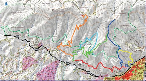
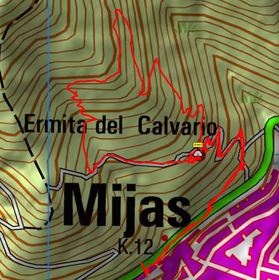
Bits of the red and Blue routes in Mijas. 3kms passing by the Ermita del Calvario
There is a list of all the signposted routes of the Sierra de Mijas on this link
Click here to see the route on Google Earth
right click here and download the GPX file
(Download Google Earth here)

Return to Illustrated Walks
<-- Fotos 1 to 15


Click a photo to see a bigger version
16photo

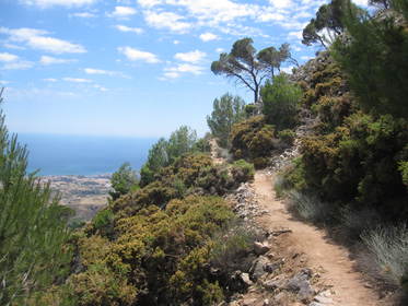
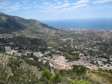
Looking east
See on Google Earth

17photo

keep to the right if like me you suffer a bit from vertigo
See on Google Earth

18photo
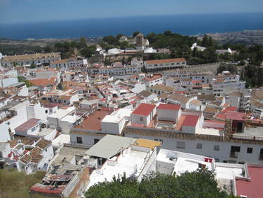
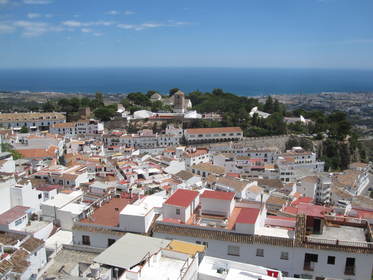
Mijas seen from the car park
See on Google Earth

19photo

Mijas seen from the car park
See on Google Earth

20photo

Elevation plot

21photo

Map

22photo

Mijas Routes


Click a photo to see a bigger version

Click the photo to see a higher reolution

x
Looking east<br /><a href="photo16.kml">See on Google Earth</a><br /><br /> keep to the right if like me you suffer a bit from vertigo<br /><a href="photo17.kml">See on Google Earth</a><br /><br /> Mijas seen from the car park<br /><a href="photo18.kml">See on Google Earth</a><br /><br /> Mijas seen from the car park<br /><a href="photo19.kml">See on Google Earth</a><br /><br /> Elevation plot Map Mijas Routes

<- ->

Last updated Dom 02 Abr 2023.


© 2019 Graham G Hawker
Privacy Policy